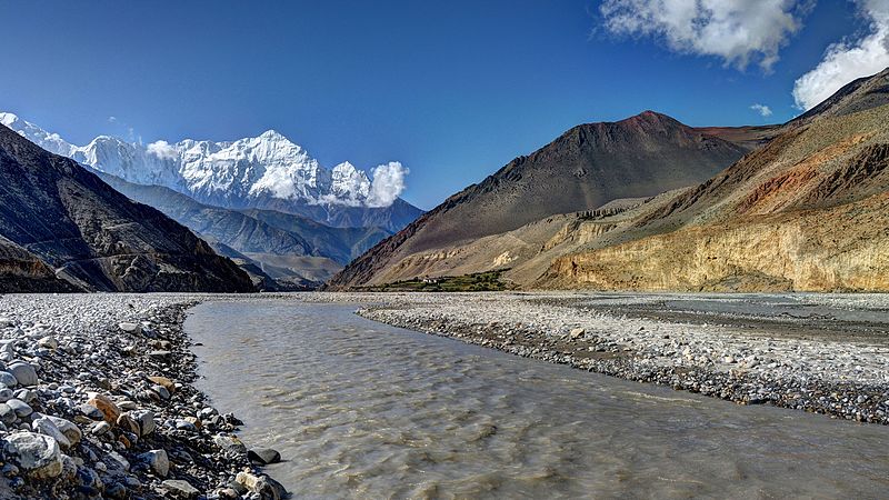
The Gandaki River Basin, located in central Nepal, is one of the country’s major river basins with large hydroelectric and irrigation potential along the India-Nepal border. The major tributaries of this river basin are the Marshyangdi, Daraudi, Seti, Madi, Kali Gandaki, Budi Gandaki, and Trishuli rivers. During the monsoon systems, it is most vulnerable to disasters like landslides, floods, glacial lake outburst floods (GLOG), avalanches, and debris flows. The GRB is the largest of Nepal's four major river basins, with an area of 3,209,000 ha. Occupying around 22.6 percent of the country's land area, it contains 1,025 glaciers and 338 lakes, has seven sub-basins and 19 districts. It extends over all three ecological zones, High hill, Midhills and the Terai. The High Hills (Mountain) which is the land above 2,000m elevation and include seven of the eight highest peaks in the world, is sparsely populated with subalpine and alpine climatic regimes. The Midhills are located between 500m to 2000m altitude and is a densely populated region in valleys with a temperate climate. The Terai (Flat Plains) includes densely populated areas in subtropical and tropical climatic regimes at a 60 to 500m elevation.
Due to the large number of habitats created by extreme altitudinal variation, the GRB has high biological diversity. It is home to numerous CITES Appendix I3 species and provides a trans-Himalayan migratory corridor for many bird species. The basin supports populations of endangered snow leopard (Panthera uncia), tiger (P. Tigris), red panda (Ailurus fulgens), one-horned rhinoceros (Rhinoceros unicornis), and gharial (Gavialis gangeticus). The basin contains six protected areas (out of 20 in Nepal) one world heritage site, and three Ramsar sites (out of 10 in Nepal).
PC Credit: Carsten.nebel
Photo